

Estancia La Providencia
PUERTO MADRYN - CHUBUT


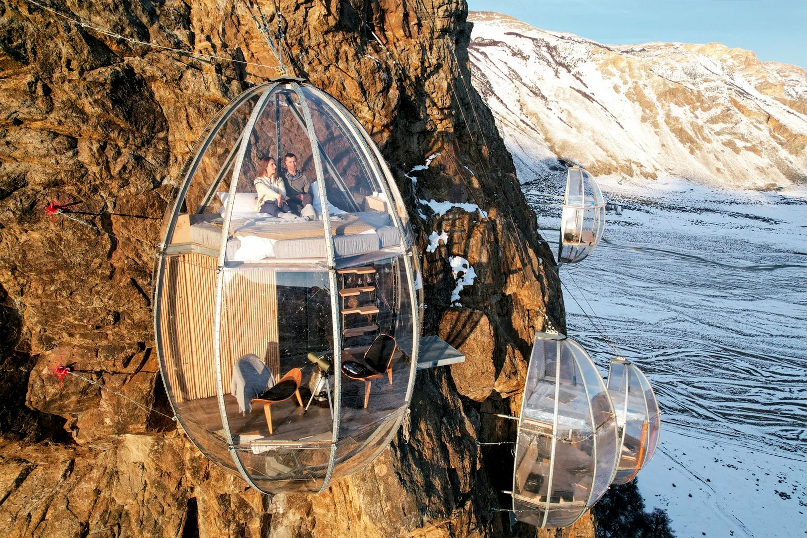
Ovo Patagonia
EL CHALTEN - SANTA CRUZ


Refugio de Glaciares
EL CHALTEN - SANTA CRUZ


Programma di Puna Avventura
CATAMARCA - SALTA


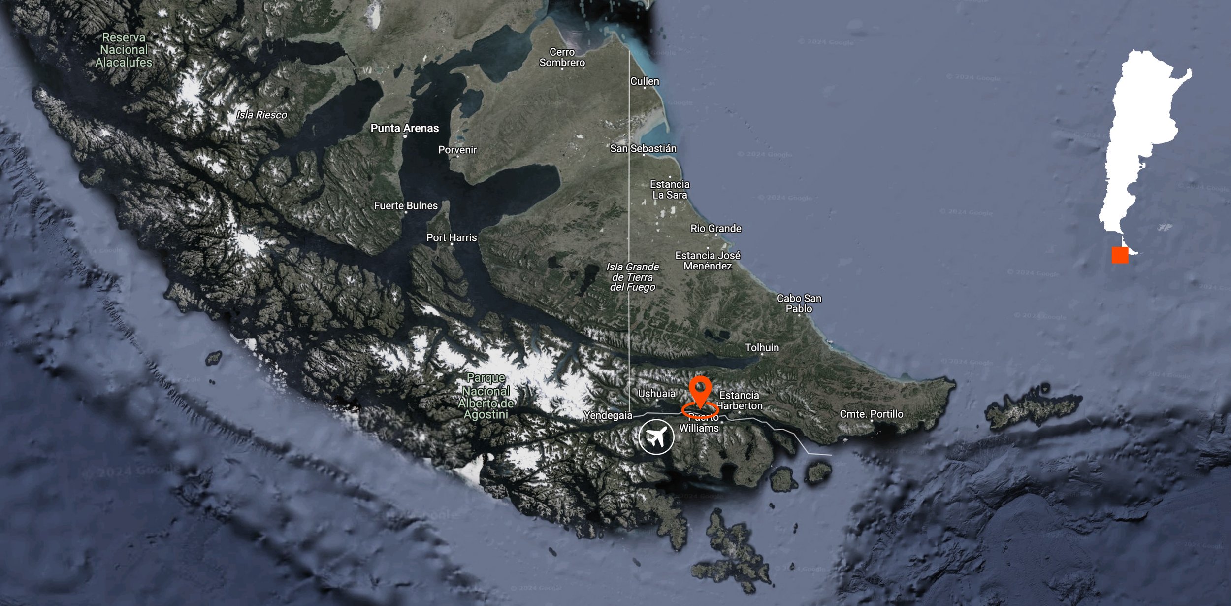
Beagle Foodie Experience
USHUAIA - TIERRA DEL FUEGO


Cabo San Pablo
TIERRA DEL FUEGO


Pingüinera Estancia San Lorenzo
PUERTO MADRYN - CHUBUT


Lofts Marini di Bahia Bustamante
BAHIA BUSTAMANTE - CHUBUT


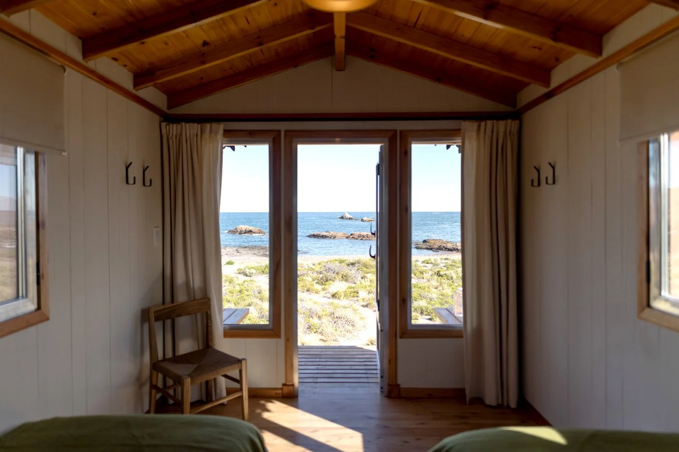
Glamping Isla Leones
CAMARONES - CHUBUT


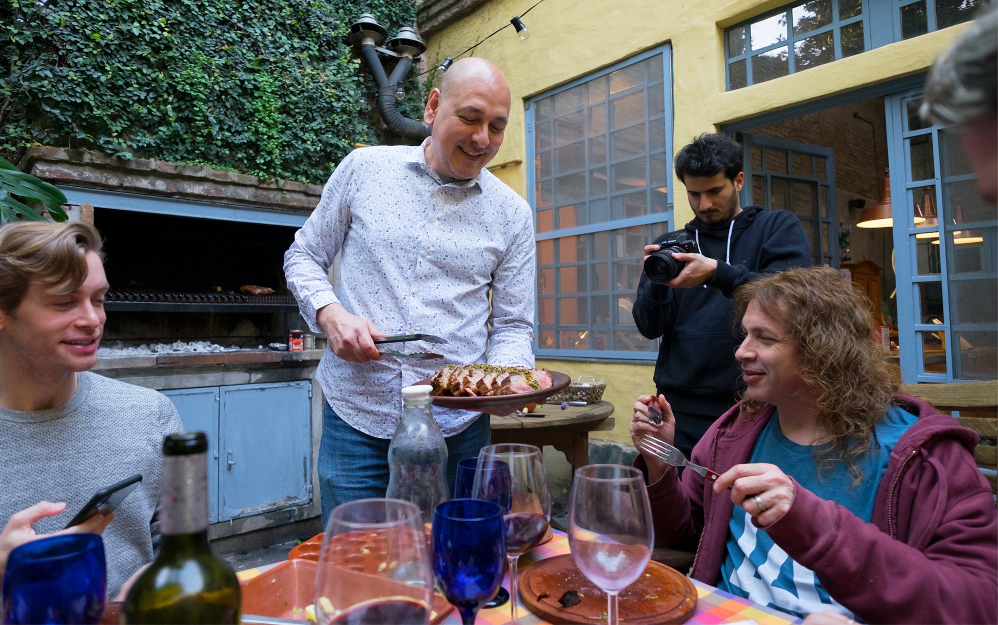
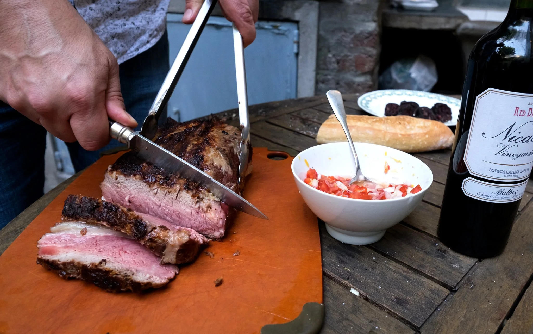
Asado Adventure
BUENOS AIRES


Puma Habituation Programme - Parque Patagonia
POSTA DE LOS TOLDOS - SANTA CRUZ


Jesuits & Mate
MISIONES ARGENTINA - PARAGUAY


